
New developments should improve the lives of Chinatown residents, build infrastructure, bring economic growth, and promote community safety, health, and well-being. However, when developers propose luxury projects that threaten the health of our low-income residents, as well as our environment, we spring into action! With the help of allies and neighbors, SEACA youth helped lead a study examining lead contamination in soils surrounding the proposed Buena Vista development. By analyzing samples from Solano Canyon and Elysian Park, our study shows widespread elevated lead concentrations, with 93% of sites tested exceeded California’s residential soil lead screening level. This not only raises concerns about potential contamination at the Buena Vista site, but also about gaps in the project’s environmental review which could have dangerous health effects on Chinatown residents for generations.
What is the Buena Vista Project?
The Buena Vista Project is a proposed 986-unit mixed-use development on approximately 8.08 acres at North Spring Street and North Broadway, immediately adjacent to Los Angeles State Historic Park (LASHP), near Elysian Park and the Los Angeles River. The property sits within a landscape shaped by more than a century of railroad and industrial activity. LASHP occupies 32 acres of the former Southern Pacific River Station complex—part of the larger area historically known as the Cornfields —which included rail yards, freight facilities, maintenance buildings, shops, and a depot. Environmental investigations of the former rail yard later identified multiple contamination areas, and portions of the site underwent remediation before it became a state park.
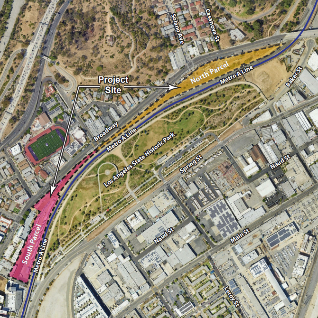
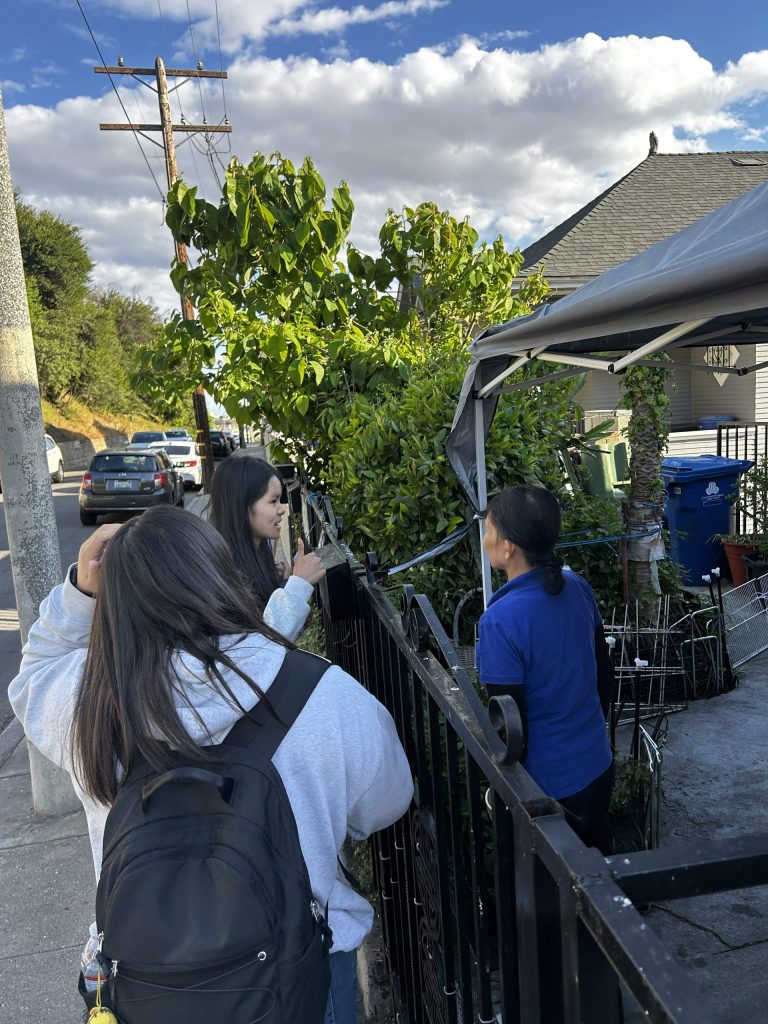
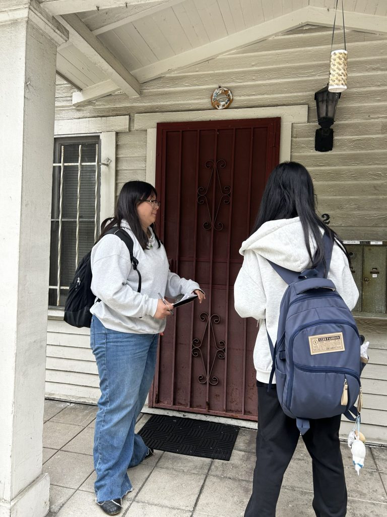
Armed with clipboards and soil-testing kits, SEACA Youth Organizers (YOs) and community volunteers canvassed surrounding neighborhoods in spring 2026, to collect soil samples and share knowledge about the area’s environmental history. Through this community-led investigation, we measured lead concentrations across Elysian Park and nearby residential properties to better understand how contamination varies across a landscape shaped by historic industry, urban development, and topography.
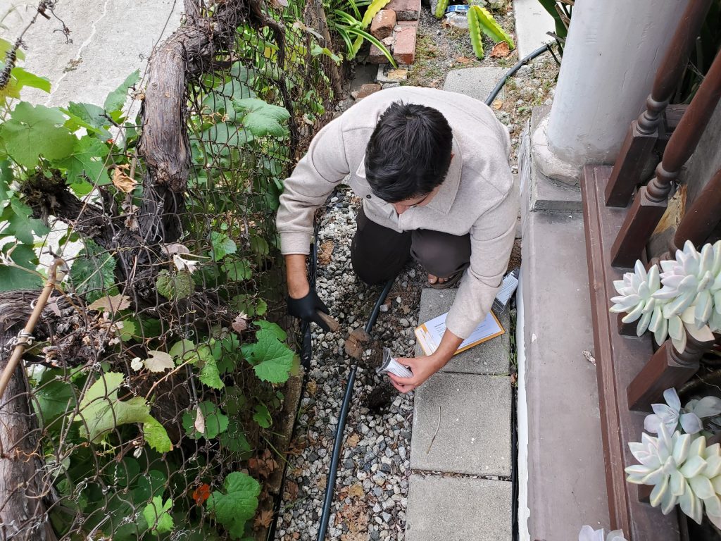
Our Findings Reveal Two Important Patterns
Across Elysian Park, lead concentrations were associated with landscape characteristics and proximity to surrounding land uses, suggesting that contamination is not distributed randomly across the landscape. Residential sampling revealed a separate but troubling pattern: among 14 residential parcels represented by 22 soil samples, 93% of parcel medians exceeded California’s residential soil lead screening level of 80 mg/kg, while 43% exceeded 400 mg/kg, more than five times that threshold.
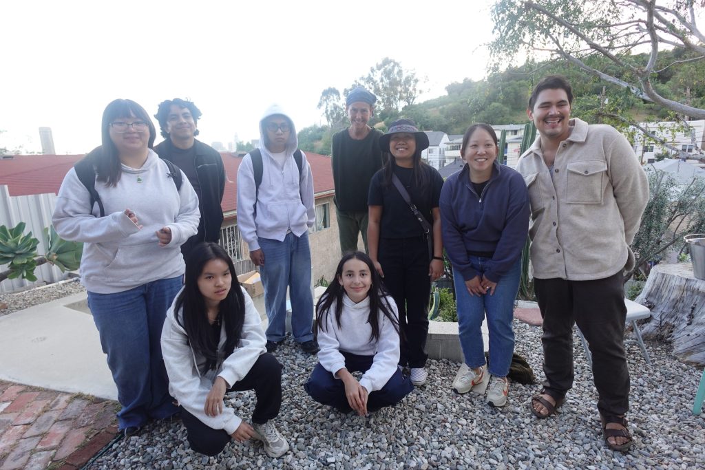
“Community members know what’s wrong in the community, but they don’t always know how to help. It’s important that we have a safe and healthy environment. When everyone comes together to help, it can help solve problems around a community.”
We Must Hold the Developer AND City Leaders Accountable
Pollution does not recognize property lines. By documenting environmental conditions beyond the boundaries of a proposed development, we are asserting our right to speak truth to power, question the assumptions of environmental review, and demand that the environmental history of our communities be considered in decisions shaping our future. As development reshapes the Cornfields corridor, the City and developers must be held accountable for thoroughly investigating potential contamination, ensuring meaningful community participation, and protecting the health and well-being of longtime residents. Environmental justice means confronting the legacy of pollution, not allowing new development to erase it.
